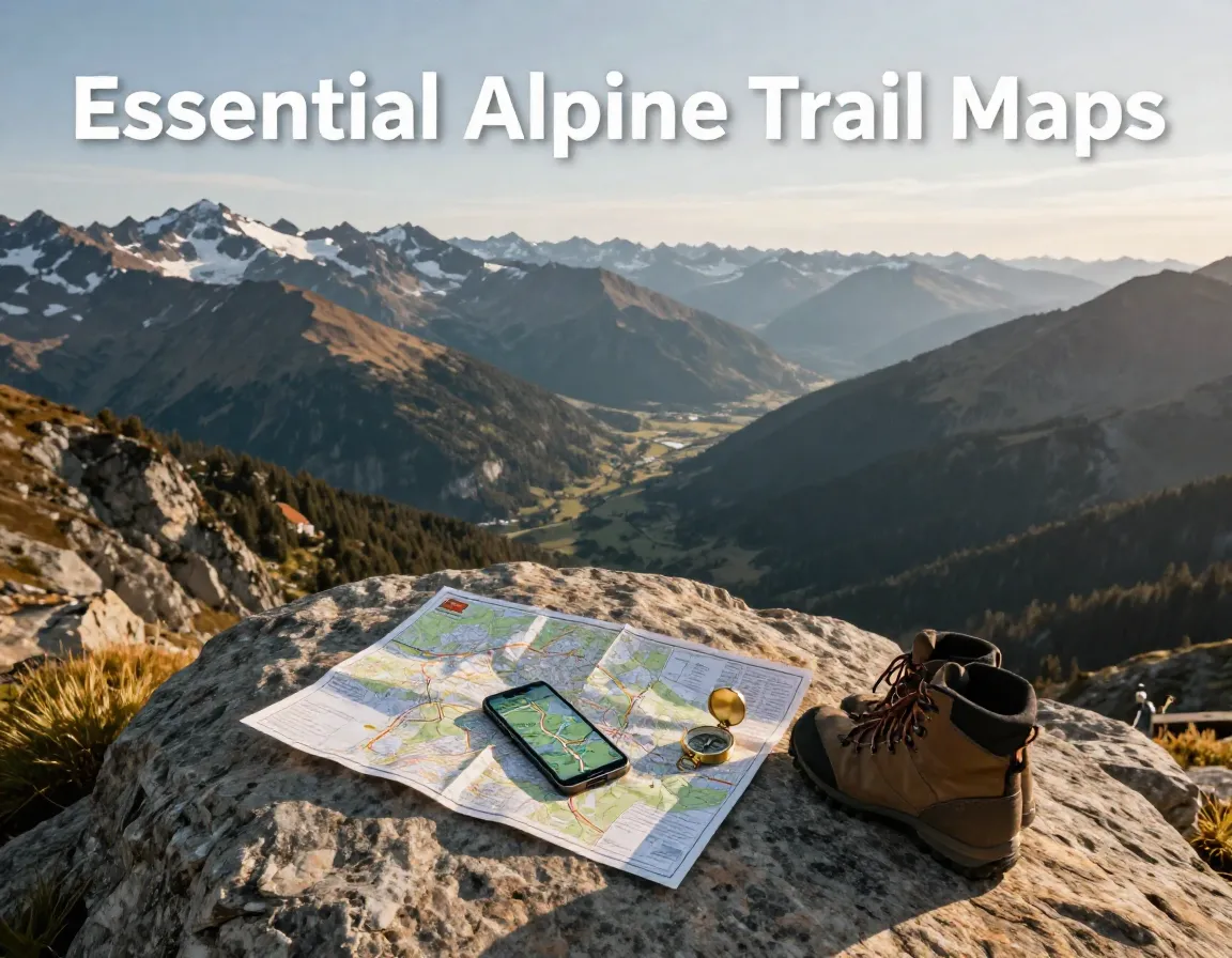
8 Essential Maps for Hiking and Exploring The Alps
Picture this: you’re standing at a mountain crossroads in the French Alps, clouds rolling in fast, and your phone signal is gone. The only thing standing between you and a safe descent is the map in your pack. Choosing the right map before you leave the trailhead is not just smart — it could save your life. Whether you’re planning a weekend trek or a multi-week Alpine adventure, knowing the 8 Essential Maps for Hiking and Exploring The Alps can make all the difference between a memorable journey and a dangerous mistake.
In 2026, Alpine hikers have more mapping options than ever before — from beautifully crafted paper topographic sheets to powerful offline digital apps. This guide breaks down the best of both worlds so you can hit the trails with total confidence.
Key Takeaways
- 📍 Paper topographic maps remain the gold standard for Alpine safety and navigation.
- 🗺️ The Marmota Maps Alpine Map is one of the most comprehensive single-sheet overviews available, covering 111 peaks and 20 major trails.
- 📱 Digital apps like AllTrails, Maps.me, and Fatmap offer critical offline navigation support.
- 🇫🇷🇨🇭🇦🇹 Different maps serve different Alpine regions — matching your map to your destination is essential.
- 🧭 Combining a detailed topographic map with a reliable digital app gives you the strongest safety net on the trail.
The 8 Essential Maps for Hiking and Exploring The Alps: Paper Classics
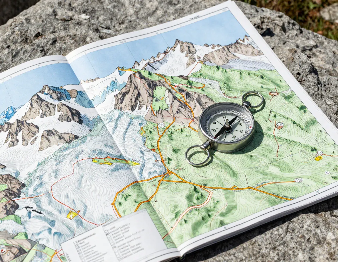
When it comes to Alpine navigation, paper maps are still king. They don’t need batteries, they don’t lose signal, and they give you a full picture of the terrain at a glance. Here are the top paper-based options every Alpine hiker should know.
1. Marmota Maps Alpine Map

The Marmota Maps Alpine Map is a stunning, all-in-one overview of the entire Alpine arc. It features 111 significant mountains and 20 major hiking trails, making it ideal for trip planning and big-picture navigation. Contour lines are drawn at 250-meter intervals, which gives you a clear sense of elevation changes across the range. Each of the 20 trails also includes a dedicated elevation profile, so you can gauge difficulty before you set foot on the path.
💬 “A great overview map doesn’t replace a detailed topographic sheet — but it’s the perfect companion for planning your Alpine adventure.”
This map works best as a planning tool and a broad orientation guide. Pair it with a regional map for on-trail navigation.
2. IGN Maps for the French Alps
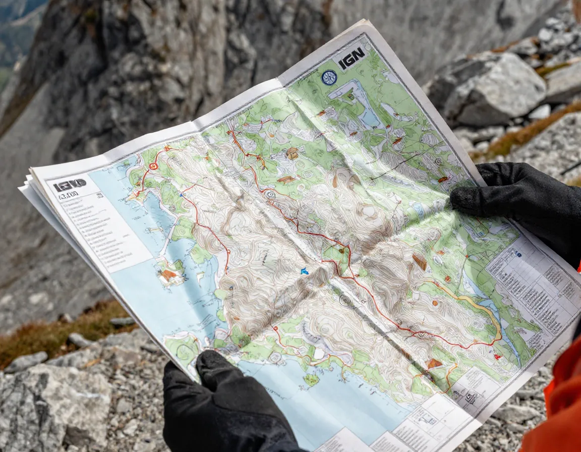
The Institut Géographique National (IGN) produces some of the most detailed and trusted topographic maps in Europe. For the French Alps, IGN maps are available through specialized retailers like Backcountry Books and cover everything from the Écrins to the Mont Blanc massif. These maps use a 1:25,000 scale, meaning every centimeter on the map represents 250 meters on the ground — an exceptional level of detail for technical terrain.
Key features include:
- Precise trail markings and waypoints
- Hut and refuge locations
- Detailed contour lines for ridge and couloir navigation
3. Tour de Mont Blanc Maps
The Tour du Mont Blanc (TMB) is one of the world’s most famous long-distance hiking routes, circling the Mont Blanc massif through France, Italy, and Switzerland. Dedicated Tour de Mont Blanc Maps are available through retailers like Backcountry Books and highlight the full GR route circuit in clear, easy-to-follow detail.
These maps are purpose-built for the TMB, showing:
- Stage-by-stage breakdowns
- Accommodation options along the route
- Key elevation gains and descent points
If you’re tackling the TMB in 2026, this is a non-negotiable addition to your pack.
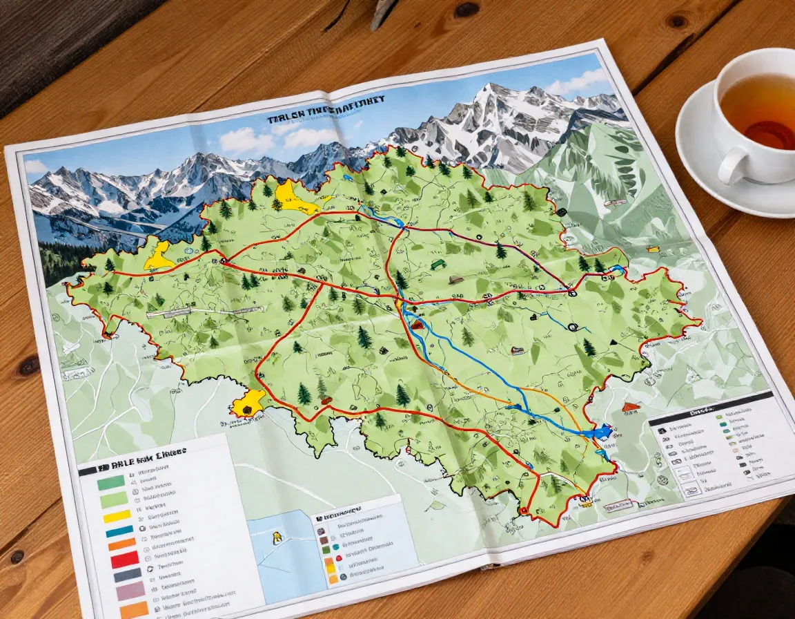
4. Longitude Maps 1:50,000 Hiking Sheet
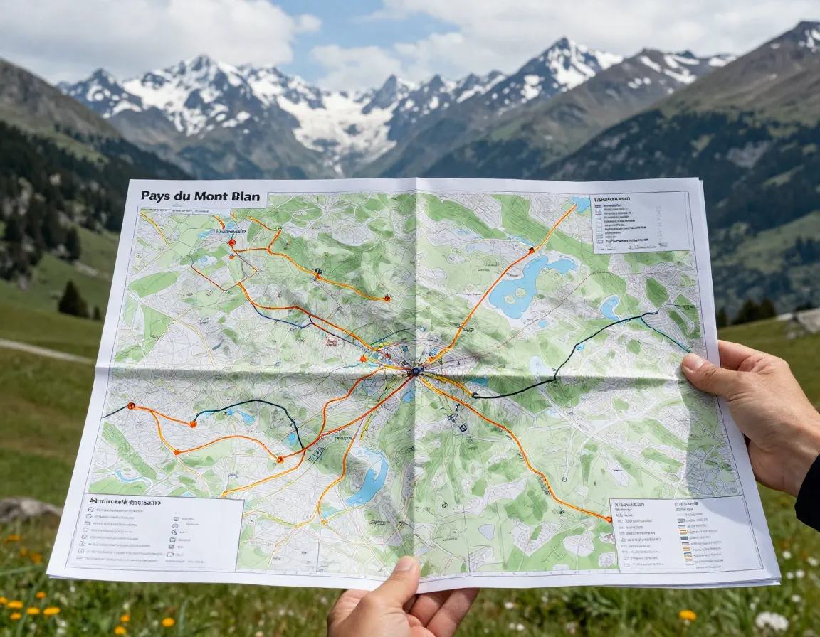
The Longitude Maps 1:50,000 Hiking Sheet covers the Pays du Mont Blanc region, spanning approximately 60 x 45 km centered on St. Gervais-les-Bains. At a 1:50,000 scale, it strikes the right balance between broad coverage and trail-level detail. GR routes are highlighted prominently, making it easy to follow long-distance paths without losing your place.
| Feature | Detail |
|---|---|
| Scale | 1:50,000 |
| Coverage Area | ~60 x 45 km |
| Center Point | St. Gervais-les-Bains |
| GR Route Highlighting | Yes |
This sheet is particularly useful for hikers who want to explore the Mont Blanc area beyond the standard TMB circuit.
5. Swiss National Map Series (Swisstopo)
Swisstopo maps are produced by the Swiss Federal Office of Topography and are widely regarded as the most accurate topographic maps in the world. Available at 1:25,000 and 1:50,000 scales, they cover every corner of the Swiss Alps with extraordinary precision. The Swiss Alps Hiking Guide 2026 recommends these maps alongside updated trail difficulty ratings and seasonal safety guidance.
Key strengths:
- Unmatched accuracy and detail
- Regular updates reflecting trail changes
- Available in waterproof editions
6. Austrian Alps Regional Maps (Freytag & Berndt / Kompass)
For hikers heading to Tirol, Salzburg, Vorarlberg, or the Hohe Tauern, Austrian regional maps from publishers like Freytag & Berndt and Kompass are essential. The 2026 edition of Austrian Alps hiking resources covers these regions with dedicated sheets, each tailored to the local trail network and mountain hut system.
These maps are color-coded by difficulty and include:
- Via ferrata route markings
- Alpine club hut locations
- Emergency descent routes
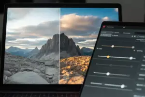
Digital and App-Based Maps: The Modern Hiker’s Toolkit
Paper maps are essential, but digital tools have transformed Alpine hiking safety and planning. The best approach in 2026 is to use both — digital apps for real-time navigation and paper maps as your backup.
7. AllTrails, Maps.me, and Fatmap (Digital Apps)

Three digital mapping apps stand out for Alpine hiking:
1. AllTrails — The most popular hiking app worldwide, AllTrails offers a massive database of Alpine trails with user reviews, photos, and difficulty ratings. Download trails offline before you leave cell range.
2. Maps.me — A lightweight, offline-first mapping app that uses OpenStreetMap data. It’s fast, reliable, and works without any data connection — perfect for remote Alpine valleys.
3. Fatmap — Built specifically for mountain sports, Fatmap offers 3D terrain visualization, avalanche zone overlays, and detailed ski and hiking trail data across the Alps. It’s the most sophisticated option for technical Alpine terrain.
💬 “Always download your digital maps offline before you leave the trailhead. Cell coverage in the Alps is unpredictable, even in 2026.”
Comparison Table: Top Digital Mapping Apps
| App | Best For | Offline Mode | 3D Terrain | Cost |
|---|---|---|---|---|
| AllTrails | Trail discovery & reviews | ✅ (Pro) | ❌ | Free / Pro |
| Maps.me | Offline navigation | ✅ | ❌ | Free |
| Fatmap | Technical mountain terrain | ✅ | ✅ | Free / Premium |
8. Kompass Digital Maps Platform
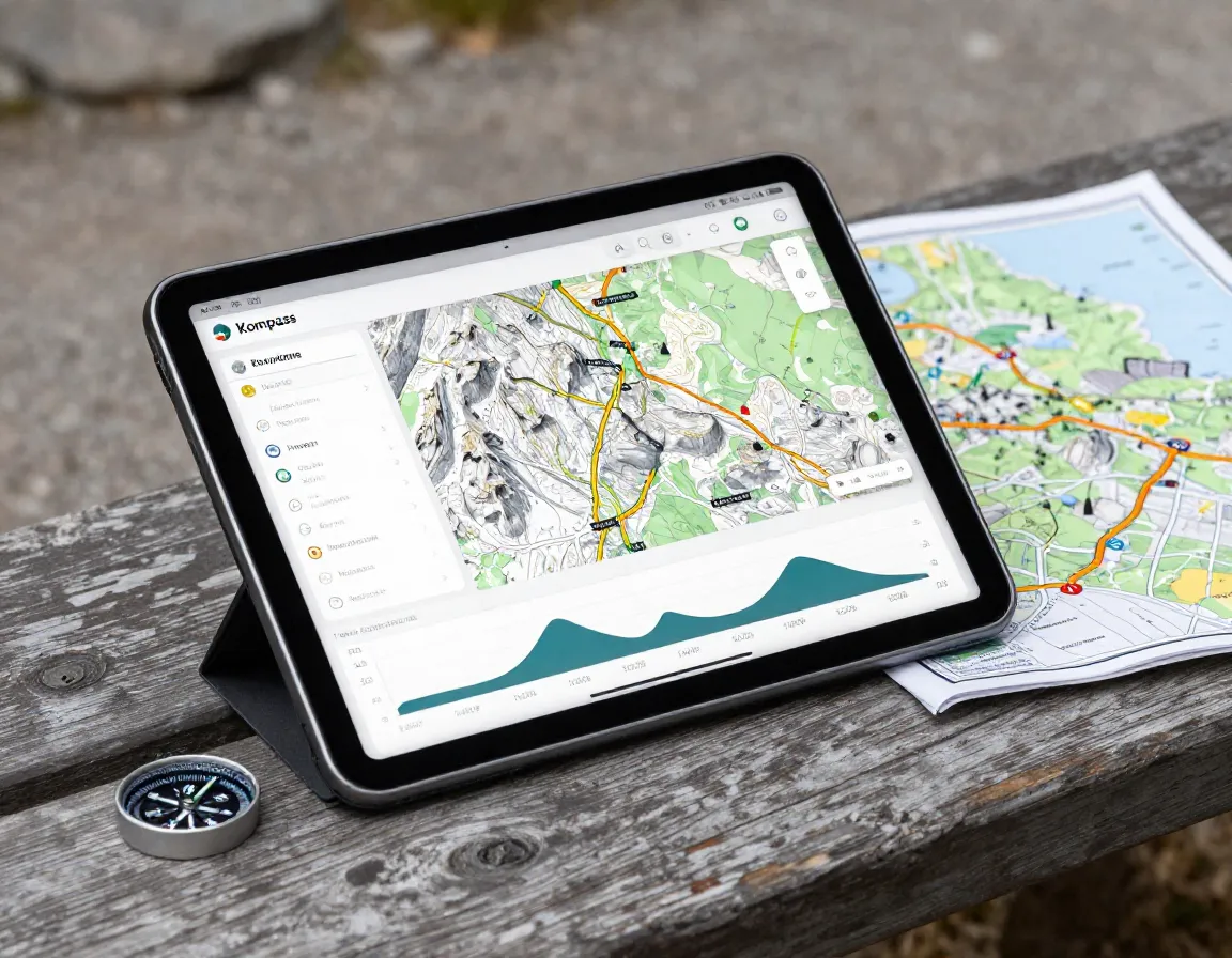
Kompass offers a powerful online and offline mapping platform specifically designed for Alpine hiking and cycling. Their digital maps mirror their printed series, so you get the same trusted data in a convenient app format. In 2026, Kompass has expanded its coverage of the Hohe Tauern and Dolomites regions, making it an excellent complement to their printed Austrian Alps maps.
Features include:
- Downloadable offline map tiles
- GPX track import and export
- Elevation profile tools
- Integration with fitness trackers
How to Choose the Right Map for Your Alpine Adventure
Not every map works for every situation. Here’s a quick decision guide:
- Planning a full Alpine traverse? → Start with the Marmota Maps Alpine Map for overview, then add regional sheets.
- Hiking the Tour du Mont Blanc? → The dedicated TMB map plus the Longitude Maps 1:50,000 sheet is a winning combo.
- Exploring the Swiss Alps? → Swisstopo 1:25,000 maps are the gold standard.
- Heading to Austria? → Kompass or Freytag & Berndt regional maps cover the terrain perfectly.
- Going off-trail or into technical terrain? → Add Fatmap to your digital toolkit.
Conclusion: Hit the Alps Prepared in 2026
The 8 Essential Maps for Hiking and Exploring The Alps covered in this guide represent the best of both traditional and modern navigation. From the sweeping overview of the Marmota Maps Alpine Map to the pinpoint accuracy of Swisstopo sheets and the real-time power of Fatmap, there’s a mapping solution for every type of Alpine hiker.
Your actionable next steps:
- Identify your region — French, Swiss, Austrian, or multi-country route?
- Purchase the appropriate paper map before your trip and study it at home.
- Download your preferred digital app with offline map tiles loaded.
- Practice reading contour lines so elevation changes are intuitive on the trail.
- Always carry a physical backup — batteries die, screens crack, and signals disappear.
The Alps reward the prepared. Get your maps sorted, and get out there. 🏔️
References
- Marmota Maps. Alpine Map Product Description. Marmota Maps, 2023.
- Swiss Federal Office of Topography (Swisstopo). Swiss Alps Hiking Guide. Swisstopo, 2024.
- Kompass Karten GmbH. Austrian Alps Hiking Resources and Digital Platform. Kompass, 2024.
- Freytag & Berndt. Regional Hiking Maps: Tirol, Salzburg, Vorarlberg, Hohe Tauern. Freytag & Berndt, 2023.
- Backcountry Books. IGN Maps and Tour de Mont Blanc Map Listings. Backcountry Books, 2024.
- Longitude Maps. 1:50,000 Pays du Mont Blanc Hiking Sheet. Longitude Maps, 2023.