9 Classic Hiking Trails in the White Mountains for Peak-Baggers
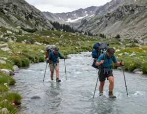
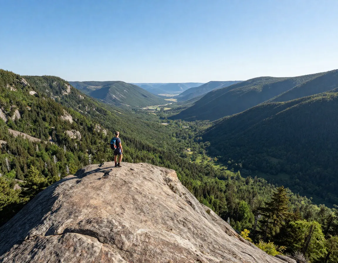
If you’ve ever stood on a rocky summit and felt that electric rush of accomplishment, you already understand why peak-bagging has become one of hiking’s most addictive pursuits. The White Mountains of New Hampshire offer some of the most rewarding — and humbling — terrain in the entire Northeast. Whether you’re chasing your first 4,000-footer or working toward a coveted patch, these 9 Classic Hiking Trails in the White Mountains for Peak-Baggers cover everything from family-friendly ridgelines to multi-day epics. In 2026, trail traffic in this region continues to grow, making it more important than ever to plan smart, hike prepared, and respect the mountain.

Key Takeaways
- 🏔️ The White Mountains host some of the most iconic peak-bagging routes in the Northeast, ranging from 3.2-mile day hikes to 23-mile traverses.
- ⚠️ Mount Washington is the Northeast’s highest peak at 6,288 feet and demands serious preparation — over 150 people have died on this mountain.
- 📅 July through September offers the best weather and trail conditions for most routes.
- 🗺️ Popular peak-bagging lists include the NH 48 4,000-Footers, the TrailWrights 72, and the NH 3,000 Footers.
- 🎒 Matching your trail choice to your fitness level and experience is the single most important planning step.
The 9 Classic Hiking Trails in the White Mountains for Peak-Baggers
Below, each trail is ranked from most accessible to most demanding. Use this as your personal roadmap to conquering the Whites.
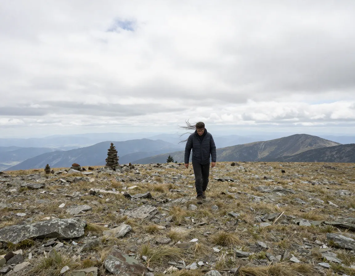
1. Mount Willard — The Perfect Starter Summit
Distance: 3.2 miles | Elevation Gain: 900 ft | Difficulty: Moderate
Mount Willard is the trail I always recommend to first-timers. Despite its modest stats, the payoff is massive — a wide-open cliff-top view of Crawford Notch that feels far bigger than the effort required. Families with older kids handle this trail well, and it’s accessible from May through October. It’s the ideal confidence-builder before you move on to bigger objectives.
💬 “The best view for the least work in the White Mountains.” — A common refrain among seasoned hikers
2. Mount Pemigewasset (Indian Head) — A Hidden Gem
Distance: 3.8 miles | Elevation Gain: 1,150 ft | Difficulty: Moderate
Often overlooked in favor of flashier peaks, Mount Pemigewasset delivers a dramatic cliff-edge outlook over Franconia Notch. The trail through birch and spruce forest is well-maintained, and the summit ledge offers a genuine sense of exposure without requiring technical skills. A great second step after Willard.
3. Mount Moosilauke — Gateway to the Alpine Zone
Distance: 7.6 miles | Elevation Gain: 2,450 ft | Difficulty: Moderate–Strenuous
Moosilauke is where many hikers meet the alpine zone for the first time. The Glencliff Trail leads you above treeline onto a broad, windswept summit plateau. At 4,802 feet, it qualifies for the NH 48 list and offers sweeping views in every direction. Expect wind even on calm days — this peak earns its reputation.
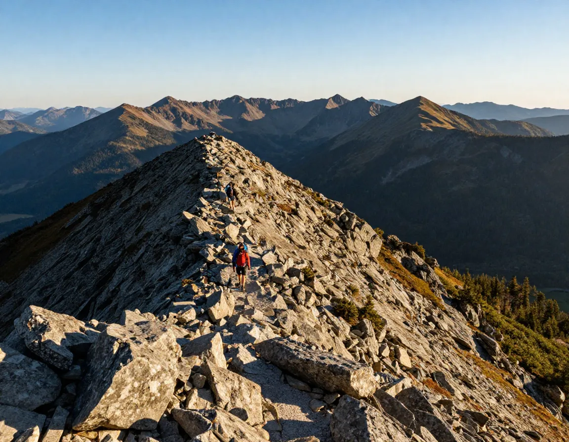
4. Franconia Ridge Loop — New England’s Best Ridge Walk
Distance: 8.9 miles | Elevation Gain: 3,800 ft | Difficulty: Strenuous
If there’s one trail that defines peak-bagging in the White Mountains, it’s this one. The Franconia Ridge Loop links Mount Lafayette (5,260 ft) and Mount Lincoln (5,089 ft) via nearly 2 miles of exposed, above-treeline ridge. The views are relentless — you can see for miles in every direction on a clear day.
| Feature | Details |
|---|---|
| Above-treeline ridge | ~1.7 miles |
| 4,000-footers bagged | 2 (Lafayette & Lincoln) |
| Best season | June–September |
| Trailhead | Lafayette Place Campground |
This loop is the crown jewel of the Franconia Notch area and a must-do for anyone serious about peak-bagging in the region.
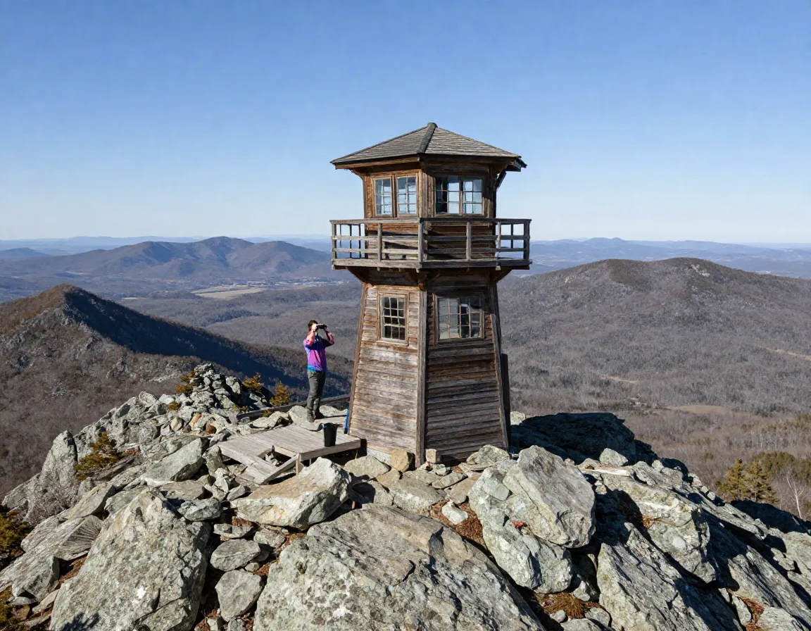
5. Mount Carrigain via Signal Ridge — Best 360° Panorama
Distance: 10 miles | Elevation Gain: 3,500 ft | Difficulty: Strenuous
Mount Carrigain is the kind of peak that rewards patience. The long approach through the Pemigewasset Wilderness feels remote and wild, and the restored historic fire tower at the summit turns a great view into a truly spectacular one. On a clear day, you can identify dozens of surrounding peaks — it’s arguably the best 360° panorama in all of New England.
🔭 Pro tip: Bring binoculars. The fire tower adds 20+ feet of elevation and transforms what you can see.
6. Mount Washington via Tuckerman Ravine — The Northeast’s Highest Peak
Distance: 8.8 miles | Elevation Gain: 4,300 ft | Difficulty: Very Strenuous
No list of classic White Mountain hikes is complete without Mount Washington. At 6,288 feet, it’s the highest point in the Northeast — and one of the most dangerous mountains in the world. The summit has recorded some of the most extreme weather on Earth, including wind speeds that once topped 230 mph.
⚠️ Safety note: Over 150 people have died on Mount Washington. Weather can change in minutes. Always check the Mount Washington Observatory forecast before you go.
The Tuckerman Ravine route is the most popular approach, best attempted from June through September. Plan for 7–10 hours round trip and carry layers, rain gear, and extra food regardless of the forecast.
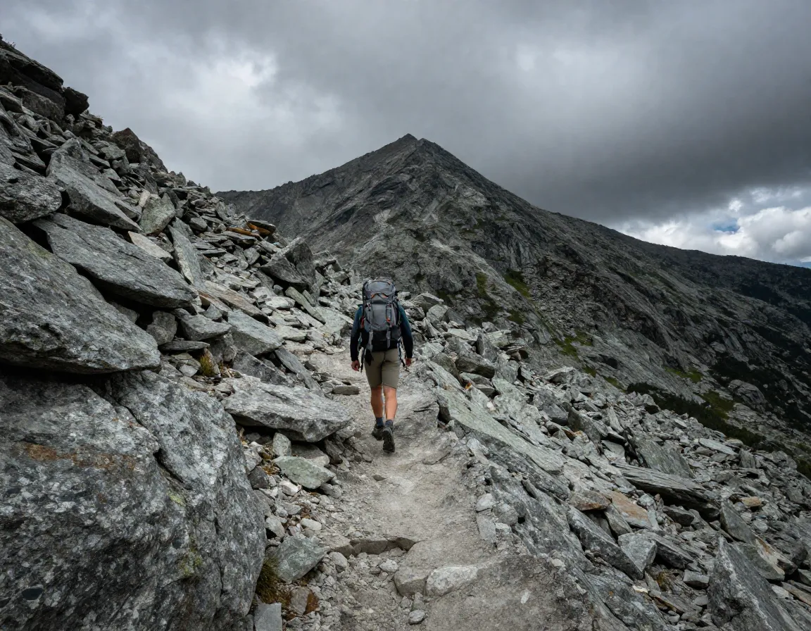
7. Mount Bond & Bondcliff — The Pemi’s Crown Jewels
Distance: 19.2 miles | Elevation Gain: 4,700 ft | Difficulty: Very Strenuous
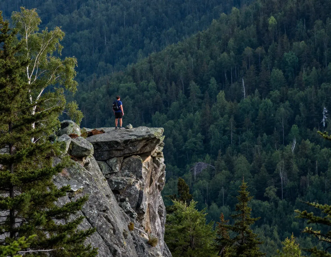
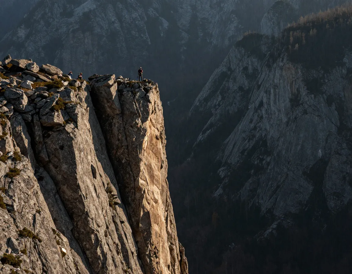
Bondcliff is one of those places that stops you in your tracks. The narrow, exposed summit ridge drops away in 1,000-foot cliff faces on multiple sides — it’s among the most dramatic cliff edges anywhere in the White Mountains. Combining Bond and Bondcliff in a single push is a serious undertaking, best treated as a backpacking trip or a very early-start day hike for strong, experienced hikers.
This route checks off two 4,000-footers deep in the Pemigewasset Wilderness, far from roads and crowds.
8. The Traverse of the Kinsman Ridge — A Multi-Peak Day
Distance: ~12 miles | Elevation Gain: 3,200 ft | Difficulty: Strenuous
The Kinsman Ridge connects North Kinsman (4,293 ft) and South Kinsman (4,358 ft) in a satisfying traverse that also passes Lonesome Lake — one of the most scenic alpine ponds in the region. This trail is a smart choice for hikers who want to bag two 4,000-footers in a single outing without the extreme commitment of Bond or the Presidential range.
9. The Presidential Traverse — The Ultimate Challenge
Distance: 23 miles | Elevation Gain: 9,000 ft | Difficulty: Extreme**
The Presidential Traverse is the benchmark by which all other White Mountain hikes are measured. Crossing 7 separate 4,000-footers — including Washington, Adams, Jefferson, Monroe, and more — this route demands 12–18 hours of sustained effort above treeline. Most hikers go hut-to-hut or tackle it as a point-to-point with a car shuttle.
| Stat | Detail |
|---|---|
| Total distance | ~23 miles |
| Elevation gain | ~9,000 ft |
| 4,000-footers | 7 peaks |
| Typical time | 12–18 hours |
| Best season | July–August |
🏆 Completing the Presidential Traverse is widely considered one of the hardest single-day hikes in the entire Northeast.
Peak-Bagging Lists and What to Know Before You Go
Understanding the peak-bagging landscape helps you set meaningful goals. Here are the main lists that drive hikers back to the Whites year after year:
1. New Hampshire 48 4,000-Footers — The most popular list. Complete all 48 peaks above 4,000 feet and earn an AMC patch.
2. The 4,000-Footer Grid — A truly obsessive challenge: climb all 48 peaks once in every calendar month, totaling 576 summits. This is a multi-year commitment for dedicated peak-baggers.
3. TrailWrights 72 — A list of 72 peaks in New Hampshire, including many below 4,000 feet, designed to encourage exploration of lesser-visited terrain.
4. New Hampshire 3,000 Footers — A broader list that opens the door to dozens of quieter, less-trafficked summits across the state.
Seasonal Planning at a Glance
| Season | Conditions | Best For |
|---|---|---|
| May–June | Muddy, lingering snow above 4,000 ft | Lower peaks, Willard, Pemi |
| July–September | Best weather, clear trails | All trails including Washington |
| Late Sept–Oct | Fall foliage, peak crowds | Ridge walks, viewpoints |
| Nov–April | Ice, deep snow, technical gear required | Experienced winter hikers only |
Conclusion
The 9 Classic Hiking Trails in the White Mountains for Peak-Baggers outlined here represent a lifetime of adventure — from the gentle slopes of Mount Willard to the brutal, breathtaking miles of the Presidential Traverse. Whether you’re just starting your 4,000-footer list or chasing the final peaks of the Grid, the White Mountains will challenge and reward you in equal measure.
Your actionable next steps for 2026:
- ✅ Download the AMC White Mountain Guide or use the Gaia GPS app to plan your routes.
- ✅ Check the Mount Washington Observatory forecast before any alpine hike.
- ✅ Start with Mount Willard or Franconia Ridge if you’re newer to the Whites.
- ✅ Register your peak-bagging progress with the AMC 4,000-Footer Committee.
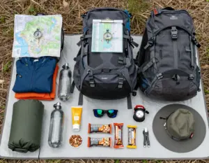
- ✅ Always carry the Ten Essentials and tell someone your plan.
The mountains aren’t going anywhere — but the window for safe, enjoyable hiking is shorter than it looks. Plan well, start early, and enjoy every summit.
References
- AMC Outdoors / Appalachian Mountain Club. (2023). White Mountain Trail Guides and Peak Profiles. Appalachian Mountain Club.
- AMC 4,000-Footer Committee. (2022). New Hampshire 4,000-Footer List and Peak-Bagging Grids. Appalachian Mountain Club.